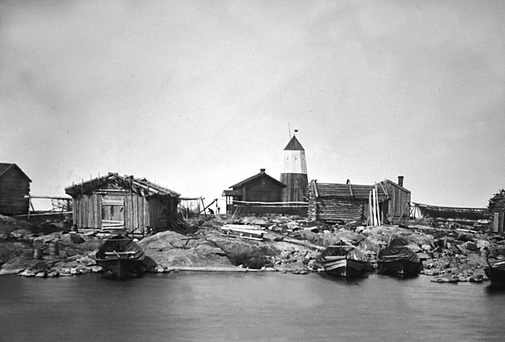
The old harbour
Up until the 1930s this harbour was used by the fishermen of Soklothällan. On the far left side is the ”Rivas Vill”, the depository of Vilhelm Ahlnäs.
To the left of the daymark is the pilot cabin which was built in 1876.
To the right of the daymark the first pilot cabin (the house with the chimney), established in 1773, can be seen. It has later been renovated and built out with an attic.
In the centre of the image are the racks used to dry herring nets. The picture from the early 20th century was captured by K.F. Spolander.
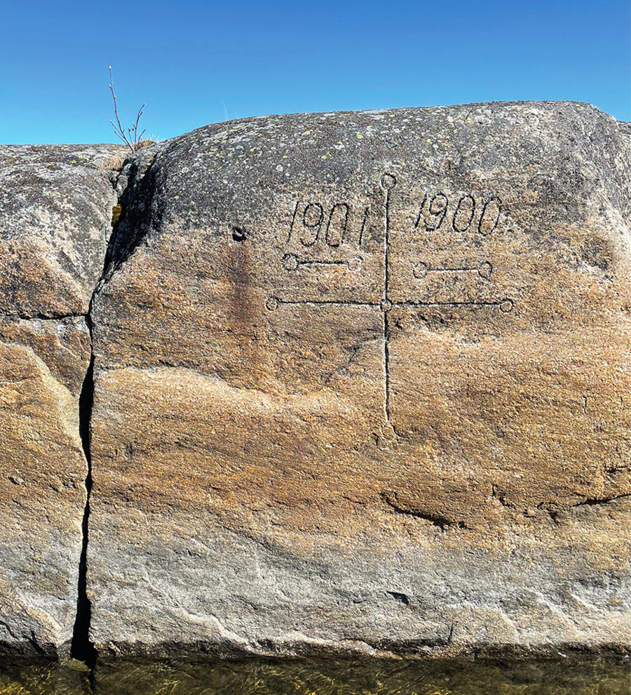
Land elevation
As with much of the Ostrobothnian coast, the tectonic uplift here is evident. It can be spotted by the engraved sea level markings in the modern harbour. The markings are from 1900 and 1901.
Due to the tectonic uplift the modern harbour was employed at latest during the 1910s, when the pilots constructed the pier. The boulders were retrieved from the southernmost part of Soklothällan, an area called ”Mattas romli”.
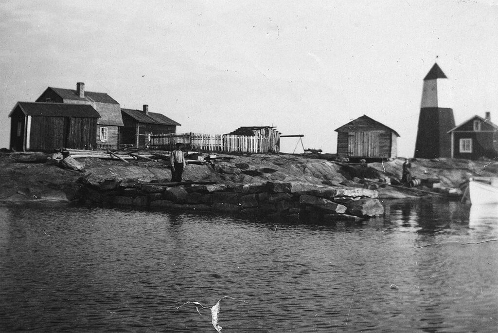
The photograph depicting Johannes Wikström standing on the pier was shot in 1935, and the sea level markings in 2024.
